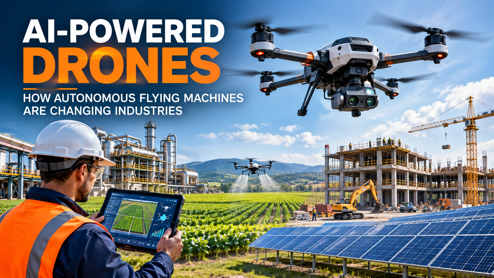
Drones have become useful tools in many industries. In the past, people mainly used them for photography and video recording. Today, drones can do much more with the help of Artificial Intelligence (AI).
AI-powered drones can analyze images, recognize objects, follow planned routes, and help people monitor large areas. Some advanced drones can also detect obstacles and adjust their movements with limited human control.
For example, a drone can fly over a farm to help identify unhealthy crops. At a construction site, it can capture images to monitor building progress. In an industrial facility, it can help inspect equipment that is difficult for workers to reach.
These technologies are helping businesses collect information faster, reduce certain manual tasks, and make better decisions. In this article, we will explore how AI-powered drones work, where they are used, their benefits, their challenges, and what the future may hold.
Category 1: Understanding AI-Powered Drones
What Are AI-Powered Drones?
AI-powered drones are flying machines that use artificial intelligence to perform tasks such as analyzing images, recognizing objects, and assisting with navigation.
A traditional drone may require a person to control its movements using a remote controller. An AI-powered drone can use cameras, sensors, and software to understand certain things about its surroundings.
For example, a drone inspecting a building can take photographs of its walls and roof. AI software can then analyze these images and highlight areas that may need closer inspection.
This makes drones more useful for tasks that require collecting and analyzing large amounts of information. However, their capabilities depend on the technology installed and the task they are designed to perform.
What Is an Autonomous Drone?
An autonomous drone is designed to complete a flight or task with limited direct human control.
Depending on its capabilities, it may follow a planned route, use sensors to detect obstacles, and adjust its movements when necessary.
For example, an autonomous inspection drone may fly around a factory and capture images of selected equipment without requiring a pilot to control every movement.
However, autonomous does not always mean completely independent. Many drones still require people to plan flights, monitor operations, and take control when necessary.
How Are Traditional Drones Different From AI-Powered Drones?
Traditional drones are commonly used for photography, video recording, and remote-controlled flying. Some can also follow routes programmed in advance.
AI-powered drones add features that help them analyze information and perform certain tasks more intelligently.
For example, a traditional drone can take photographs of a farm. An AI-powered system can analyze those photographs and highlight areas where crops appear unhealthy.
The main difference is that AI can help turn drone images into useful information instead of simply recording what the camera sees.
Category 2: How AI-Powered Drones Work
1. Cameras and Sensors Collect Information
AI-powered drones use cameras and sensors to collect information about their surroundings.
Depending on their purpose, they may use standard cameras, thermal cameras, GPS receivers, or LiDAR sensors.
For example, a thermal camera can identify unusual temperature patterns in equipment, while a standard camera can capture detailed photographs of buildings and machinery.
These devices provide the information that the drone or its connected software uses to complete a task.
2. Artificial Intelligence Analyzes Images
After collecting information, AI software can analyze images and identify patterns.
For example, a drone used on a farm may capture photographs of crops. AI software can examine the images and highlight areas where plants look different from those nearby.
Similarly, an industrial inspection system may identify visual signs that could indicate damage or corrosion.
These results help people decide where to investigate further. However, AI can make mistakes, so important findings should be checked by qualified professionals.
3. Navigation Systems Help Drones Fly
Drones use navigation systems to determine their position and follow a planned route.
Depending on the design, they may use GPS, cameras, and other sensors to understand their location and surroundings.
Some advanced systems can detect obstacles and change their flight path when necessary.
For example, an inspection drone may use navigation software to follow a route around a building while maintaining a suitable distance from nearby structures.
These capabilities vary between drones, and weather, poor visibility, or technical problems can affect their performance.
4. Software Converts Drone Data Into Useful Information
Collecting photographs is only one part of a drone’s job. The collected information must also be processed and understood.
Drone software can create maps, compare images, measure areas, and generate reports.
For example, a construction company can compare drone photographs taken on different dates to understand how much progress has been made on a building.
This information can help project managers identify areas that need attention and plan their next steps.
Category 3: How AI-Powered Drones Are Changing Industries
1. AI Drones in Agriculture
Farmers need to monitor crops, soil conditions, water availability, and plant health throughout the growing season.
AI-powered drones can capture aerial images of agricultural fields and help identify areas that may need attention.
For example, a drone can photograph a large farm, and AI software can highlight sections where crops appear less healthy than the surrounding plants.
Farmers can then investigate whether the problem is caused by water shortages, pests, disease, or other conditions.
Key benefits:
- Monitor large fields more efficiently.
- Identify possible crop problems earlier.
- Support irrigation and crop-management decisions.
- Help target treatments where they may be needed.
- Reduce some manual inspection work.
Drones cannot identify every crop problem on their own. Farmers may still need to inspect plants and collect additional information before deciding what action to take.
2. AI Drones in Construction
Construction companies need to inspect sites, monitor building progress, and measure areas accurately.
Drones can capture aerial photographs and create maps that help teams understand what is happening on a construction site.
For example, a project manager can compare current drone images with photographs taken a week earlier to see how the building has progressed.
Drones can also help survey land, measure material stockpiles, and inspect certain hard-to-reach areas.
Key benefits:
- Monitor construction progress.
- Collect aerial photographs and site measurements.
- Reduce some manual surveying activities.
- Maintain visual records of a project.
- Help inspect certain difficult-to-access locations.
Although drones make inspections easier, engineers may still need to examine structures directly to confirm defects or assess safety.
3. AI Drones in Manufacturing and Industrial Inspection
Factories contain machines, pipelines, storage tanks, and other equipment that require regular inspection.
Some equipment is difficult to reach because it is located at height or inside large industrial facilities.
AI-powered drones can capture photographs of these structures and help inspectors identify areas that need closer examination.
For example, a drone can inspect the outside of an industrial tank and collect images that AI software analyzes for possible surface damage.
Key benefits:
- Support equipment inspections.
- Collect information from difficult-to-access locations.
- Help document equipment conditions.
- Reduce some inspection time.
- Support maintenance planning.
Drones cannot replace every inspection method. Some equipment requires physical testing or specialized tools to confirm its condition.
4. AI Drones in Transportation and Delivery
Transportation companies are exploring drones for selected delivery tasks, site monitoring, and inventory management.
Some autonomous drones can follow planned routes and carry small items to designated locations.
For example, a drone may deliver a small package between two approved locations or transport supplies to an area that is difficult to reach by road.
However, drone delivery depends on factors such as payload capacity, battery life, weather, flight safety, and local regulations.
Key benefits:
- Support certain delivery operations.
- Reach some difficult-to-access locations.
- Help transport selected small items.
- Reduce delivery time in suitable situations.
- Support specialized logistics activities.
Drones are not suitable for every delivery. Trucks, vans, and other conventional transport methods will continue to be important.
5. AI Drones in Healthcare and Emergency Response
In emergencies, reaching the right location quickly can be difficult. Floods, earthquakes, damaged roads, and remote locations can delay assistance.
Drones can help response teams collect aerial images and deliver selected medical supplies where permitted.
For example, a drone may transport emergency supplies to a remote area while response teams assess the situation.
AI software can also help analyze images of affected areas and highlight locations that may need further investigation.
Key benefits:
- Support emergency planning.
- Help assess disaster-affected areas.
- Assist with selected medical deliveries.
- Collect aerial information quickly.
- Support coordination between response teams.
Emergency drone flights must be carefully coordinated to avoid interfering with rescue aircraft and other emergency operations.
6. AI Drones in Energy and Power Infrastructure
Energy companies must inspect power lines, solar farms, wind turbines, and other infrastructure to keep equipment working properly.
Some of these structures cover large areas or are difficult to access safely.
Drones can collect images and, when equipped with suitable sensors, additional information about the condition of the equipment.
For example, a drone can inspect a section of a power line and capture close-up photographs of components that may need maintenance.
AI software can help highlight unusual visual patterns for further investigation.
Key benefits:
- Support inspections across large areas.
- Help identify equipment that needs attention.
- Reduce exposure to certain inspection hazards.
- Create visual records of infrastructure.
- Support maintenance planning.
The final inspection results should be reviewed by qualified professionals before important maintenance decisions are made.
7. AI Drones in Mining
Mining sites often cover large areas and contain uneven ground, heavy machinery, and difficult working conditions.
Drones can help survey these areas, create maps, and measure the volume of materials stored in stockpiles.
For example, a mining company can use aerial images to estimate how much material is stored in a particular location.
Repeated surveys can also help teams monitor changes at the site.
Key benefits:
- Support surveying and mapping.
- Help measure material stockpiles.
- Monitor changes in terrain.
- Reduce some manual measurement work.
- Provide information for operational planning.
The quality of the results depends on the drone’s sensors, the surveying method, and how the data is processed.
8. AI Drones in Environmental Monitoring
Environmental researchers need to monitor forests, rivers, coastlines, wildlife habitats, and other natural areas.
Drones can collect aerial photographs of these locations, helping researchers study changes over time.
AI software can analyze the images and identify patterns that may require further investigation.
For example, researchers can compare photographs of a forest taken several months apart to identify areas where vegetation has changed.
Key benefits:
- Support environmental surveys.
- Monitor changes across large areas.
- Help researchers create maps.
- Reduce some manual data collection.
- Provide visual records for comparison.
AI analysis is not always perfect. Researchers may need additional observations and fieldwork to confirm what the images show.
Category 4: Main Benefits of AI-Powered Drones
1. Faster Data Collection
Drones can collect photographs and measurements across large areas without requiring workers to visit every location on foot.
For example, a drone can capture aerial images of a large construction site during a planned flight.
This can help businesses collect information more efficiently, although the time saved depends on the task and the environment.
2. Improved Safety
Some inspections require workers to climb tall structures or approach potentially dangerous equipment.
Drones can help collect information from certain locations without requiring workers to access them directly.
This can reduce exposure to specific hazards. However, drone operations also require safety procedures and trained personnel.
3. Better Monitoring
Drones can capture images from similar viewpoints at different times.
Comparing these images helps businesses understand how a location or structure has changed.
For example, construction teams can compare photographs from the beginning and end of a week to review building progress.
4. Potential Cost Savings
Drones may reduce some costs associated with manual inspections, access equipment, travel, and data collection.
However, businesses must also consider the cost of the drone, software, maintenance, training, and regulatory compliance.
Whether a drone saves money depends on how frequently it is used and the type of work it performs.
5. Better Decision-Making
AI software can analyze large amounts of drone data and highlight information that deserves attention.
For example, an inspection team can use AI to identify photographs that may show equipment damage.
This helps professionals focus their efforts, but they should verify important findings before taking action.
Category 5: Challenges of AI-Powered Drones
1. Limited Battery Life
Most small drones rely on batteries, which limit how long they can fly before recharging.
Longer missions may require spare batteries, charging facilities, or multiple flights.
This can make operations more difficult when inspecting large areas.
2. Weather Conditions
Strong winds, rain, dust, and poor visibility can affect drone performance.
Some drones can operate in more challenging conditions than others, but not every model is suitable for every environment.
Businesses must check weather conditions before planning a flight.
3. Privacy and Data Security
Drones can capture images of people, buildings, vehicles, and private property.
If this information is collected or stored without appropriate safeguards, it may create privacy concerns.
Organizations should protect collected data and follow applicable privacy requirements.
4. High Equipment Costs
Advanced drones may require specialized cameras, sensors, software, and trained operators.
These costs can make adoption difficult for smaller businesses.
Companies should evaluate the expected benefits and ongoing expenses before investing.
5. AI Can Make Mistakes
AI software does not always interpret images correctly.
For example, it may mistake a harmless mark for damage or fail to identify a problem in a blurry photograph.
Human review remains important when drone data is used for safety, engineering, or maintenance decisions.
6. Rules and Regulations
Drone operations are subject to aviation rules that vary by country and type of flight.
Certain operations may require registration, permissions, trained pilots, or additional safety measures.
Businesses should understand the applicable requirements before using drones commercially.
Category 6: Technologies That Make Drones Smarter
Computer Vision
Computer vision allows computers to analyze photographs and videos.
Drones can use this technology to recognize objects, compare images, and identify visual patterns.
For example, computer vision software can help highlight areas of a building that look different from earlier inspection photographs.
GPS and Navigation Systems
GPS and other navigation technologies help drones determine their position and follow planned routes.
Some advanced systems combine location information with cameras and other sensors to improve navigation.
These technologies help drones complete certain tasks more consistently, but navigation performance can be affected by the surrounding environment.
Thermal Cameras and LiDAR
Thermal cameras detect temperature patterns, while LiDAR measures distances using laser light.
These technologies are useful for particular tasks. Thermal cameras may help inspect equipment for unusual heat patterns, while LiDAR can support mapping and measuring distances.
The right sensor depends on what the drone needs to measure or inspect.
AI-Based Data Analysis
AI-based data analysis helps turn collected information into useful results.
For example, software can compare photographs, highlight possible defects, or help identify changes in a surveyed area.
This allows businesses to use drone data for more than simply taking pictures.
Category 7: The Future of AI-Powered Drones
More Intelligent Autonomous Flights
Future drones may become better at planning routes, recognizing obstacles, and adjusting to changing conditions.
This could make them more useful for inspection, mapping, and monitoring.
However, reliable autonomous flight still depends on appropriate hardware, software, safety systems, and operating conditions.
Drone Swarms
A drone swarm is a group of drones that coordinate their activities to complete a task.
For example, several drones could survey different sections of a large area at the same time.
Coordinating multiple drones introduces challenges involving communication, collision avoidance, and battery management.
Integration With Digital Twins
A digital twin is a digital representation of a real-world object, building, or system.
Drone images and measurements can help update this representation.
For example, a construction company can combine drone photographs with a digital building model to review progress and identify differences.
Better Battery Technology
Improvements in batteries and energy efficiency may allow some drones to remain in the air longer.
Longer flight times could make certain inspection and monitoring tasks more convenient.
Actual flight duration will still depend on the drone’s size, payload, weather, and battery design.
Drone-as-a-Service
Drone-as-a-Service means hiring a company to provide drone operations instead of buying and maintaining all the equipment yourself.
For example, a construction company might hire a specialist provider to survey a site or monitor project progress.
This approach can help businesses use drone technology without needing to build their own drone team.
Conclusion:
AI-powered drones are becoming valuable tools across agriculture, construction, manufacturing, transportation, energy, mining, and environmental monitoring.
By combining cameras, sensors, navigation systems, and artificial intelligence, they can help businesses collect information, monitor changes, and inspect certain locations more efficiently.
Their biggest advantage is the ability to combine aerial data collection with intelligent analysis. This helps turn photographs and sensor readings into information that professionals can use to make decisions.
However, drones still face challenges involving battery life, weather, costs, privacy, technical limitations, and flight regulations.
They do not replace the need for skilled people. Instead, they can support workers by handling selected tasks and providing information that may otherwise take longer to collect.
As drone and AI technology continue to develop, autonomous flying machines are likely to play an increasingly important role in modern engineering and industrial operations.
