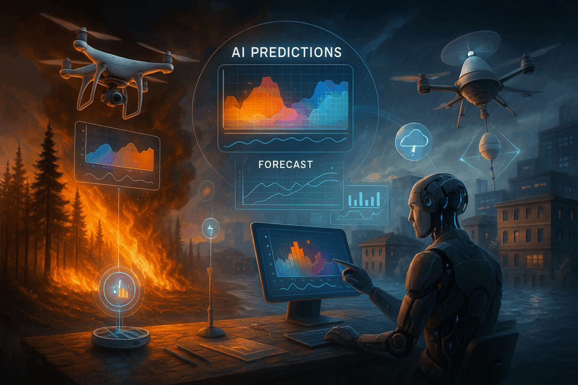
Natural disasters like wildfires and floods happen more often because of climate change. These disasters damage homes, communities, and the environment . But AI and real-time sensors now give us smarter ways to predict and respond to these emergencies — helping to save lives and cut down on damage.
Let’s look at how AI and sensor data are changing how we deal with wildfires and floods.
🔥 Knowing the Risk of Wildfires and Floods
Wildfires and floods affect millions of people each year. Some of the main problems include:
- Quick and hard-to-predict spread
- Warnings that come late or not at all
- Not enough resources for emergency response
Regular prediction systems often don’t work well. Modern tech — AI — fills this gap.
🤖 AI’s Role in Wildfire Prediction
🔍 AI Identifies High-Risk Areas
AI tools analyze past fires, weather trends, and maps of dry regions or forests. These tools then forecast potential wildfire locations and their possible spread rates.
They analyze data such as:
- Wind velocity
- Plant dryness
- Heat levels
- Images from space
NASA, for instance, uses AI-enhanced satellite systems to spot and monitor fires worldwide in real time.
🌡️ Quick-Acting Ground Sensors
Tiny sensors find homes in forests and parks. These gadgets keep an eye on:
- Temperature
- Humidity
- Smoke or gas floating around
When something odd pops up, the system quickly tells local officials — before you can even see flames. This gives firefighters a chance to get ahead of the game.
🌊 AI’s Role in Flood Forecasting
🗺️ Clever Flood Prediction
AI systems crunch data on rainfall, river heights, and soil conditions to figure out when and where floods might strike. These systems work faster and hit the mark more often than old-school methods.
AI also whips up flood maps you can play with that show:
- How high the water gets
- Danger spots
- Areas likely to take a hit
Some cities now use these maps to guide traffic, help rescue teams, and plan evacuation routes during storms.
💧 Water Sensors That Communicate with AI
Special water-level sensors are placed in rivers, drains, or reservoirs. These sensors gather real-time data and transmit it to AI systems.
The AI then:
- Monitors rising water levels
- Forecasts overflow risks
- Alerts people through SMS, app notifications, or radio
This early warning system allows families and communities to get ready before it’s too late.
🧠 What Technologies Make This Possible?
Several cutting-edge tools enable this:
- AI & Machine Learning: To analyze past and current data
- IoT (Internet of Things): To collect sensor data in real time
- Cloud Computing: To process vast amounts of data
- Geospatial AI: To map out high-risk zones with precision
These technologies combine to spot, forecast, and warn — all as events unfold.
✅ Advantages of AI and Sensor-Based Disaster Prediction
- Extra preparation time due to advance warnings
- Quicker emergency action based on live data
- Reduced chance of property damage and harm
- Improved planning for urban areas and rescue squads
- Higher quality forecasts that minimize false alarms
🔮 What’s Next in Disaster Tech?
In the coming years, we might see even cleverer tools such as:
- AI-powered drones that soar above disaster areas to provide up-to-the-minute updates
- Mobile apps that send personalized flood/fire risk warnings
- Automated evacuation systems that direct people to safety
These breakthroughs will help communities stay safer and better prepared than ever.
